
Tecuci, Romania (Urban Demonstrator)
Tecuci Urban Demonstrator – Multi-Hazard Risk Assessment and Early Warning System
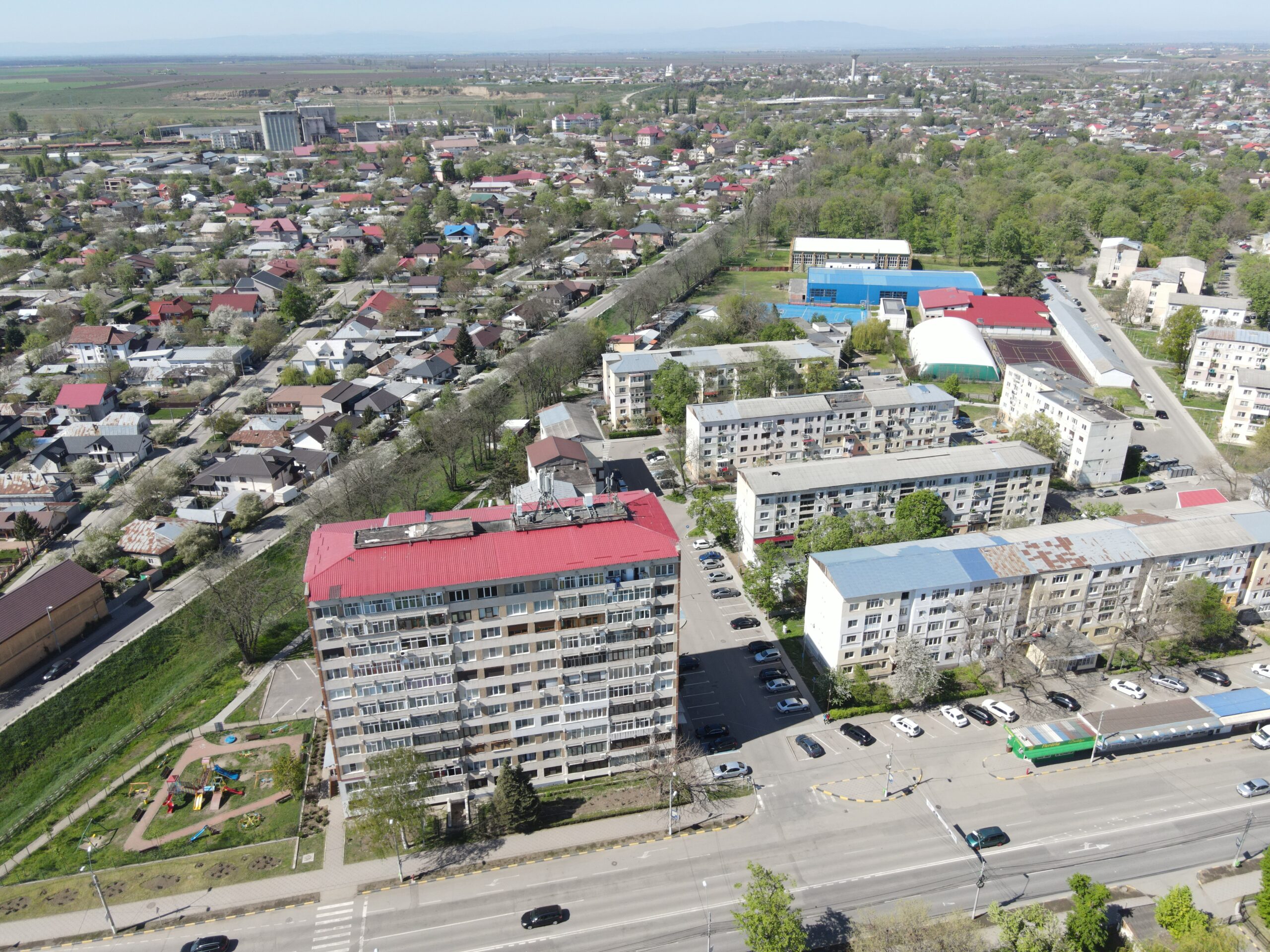
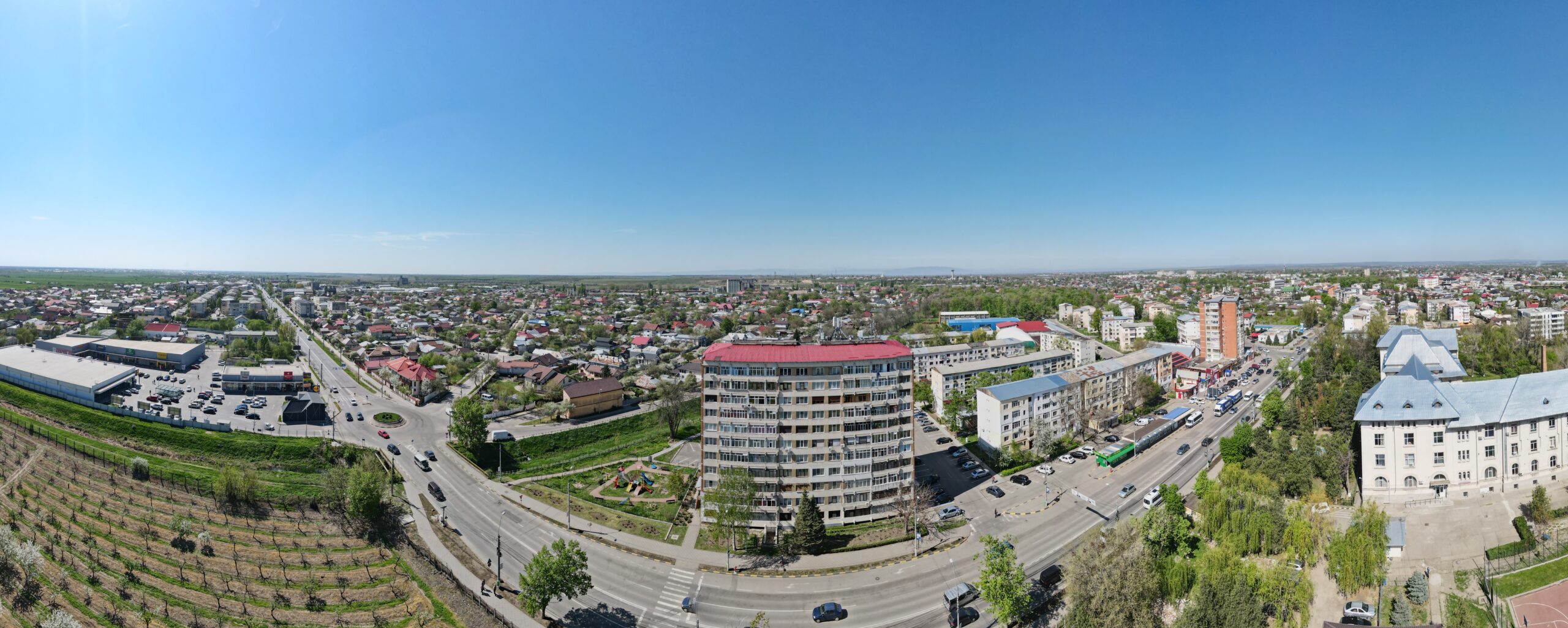
City Overview
Tecuci, a historic regional commercial hub, faces high seismic and flood risks. The city has 34,871 inhabitants, many of whom are elderly and low-income, making them particularly vulnerable to natural hazards.
Residential Building Stock:
> 8233 residential buildings, with over 500 homes flooded in the most recent major flood event (2007).
> 1,084 buildings pre-date 1945, with many constructed from masonry and adobe, making them vulnerable to earthquakes.
> Post-1977 construction shifted towards reinforced concrete structures, including medium- and high-rise buildings.
Seismic and Flooding Risks: Tecuci lies in a high-seismicity zone, affected by Vrancea intermediate-depth earthquakes and local shallow earthquakes.
The Tecucel River runs west to east through the city, with past floods affecting 70% of the urban area, leading to casualties and mass evacuations.
A railway embankment in the western part acts as a levee, increasing flood risk by preventing water drainage and causing overflow during high discharge events.
MULTICARE Demonstration in Tecuci
Tecuci will serve as a city-scale virtual demonstrator, applying multi-risk assessment tools, real-time monitoring, and AI-based hazard analysis. The pilot will focus on critical infrastructure and emergency response buildings to enhance resilience against earthquakes and flash floods.
Earthquake Monitoring & Risk Assessment
Four key emergency buildings (hospitals, city hall, operational centres) will be equipped with high-grade accelerometers to monitor:
> Real-time seismic motion and background noise, helping to identify structural vulnerabilities.
>Long-term changes in building dynamics, supporting predictive maintenance.
Data will be integrated with existing free-field seismic stations from the National Institute for Earth Physics (INFP), which have already recorded significant ground motion parameters for both intermediate-depth (Vrancea) and shallow earthquakes (e.g. Mw 4.6, 24 April 2020).
Flood Monitoring & Early Warning System
New automated hydrometric station to be installed upstream of Tecuci, improving flood early warning capabilities. Real-time hydrological and hydraulic modelling, integrating:
> Flood wave simulation based on real-time sensor data.
> Validation of flood forecasts to enhance response planning.
> AI-based risk assessment, predicting urban flood impact and emergency response needs.
Ongoing maintenance of watercourses, including vegetation clearance and embankment reinforcement, will be assessed for long-term flood mitigation.
Digital Risk Management System
A dedicated digital platform will be developed to integrate multi-hazard data from seismic and flood monitoring systems. Authorities and first responders will access real-time risk data to facilitate:
> Rapid decision-making in emergencies.
> Automated alerts and early warning messages.
> Data harmonisation across different hazard types for a more coordinated disaster response strategy.
Replication Potential
The multi-hazard assessment approach in Tecuci has high replication potential for other cities and towns exposed to earthquake and flood risks across:
> Romania, particularly in seismically active and flood-prone regions.
> Europe, where integrated seismic and flood risk monitoring is critical for climate adaptation.
By demonstrating scalable digital risk management solutions, Tecuci will serve as a model for urban resilience, showcasing how real-time data, AI-driven simulations, and early warning systems can enhance disaster preparedness and response at city-wide and regional levels.
PILOT SITE NEWS