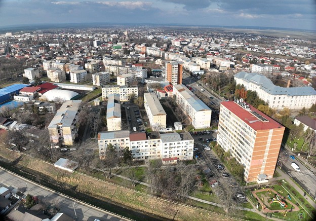
As part of recent fieldwork, six professional seismic sensors have been installed in Tecuci — two at ground level and four within buildings, including a high-rise residential block and the city hall. These sensors, placed in structures built during the 1970s, aim to capture detailed seismic behaviour during earthquakes, supporting the creation of an urban-level ShakeMap for Tecuci.
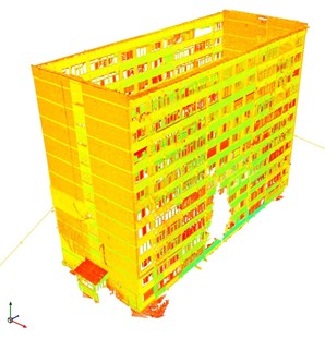
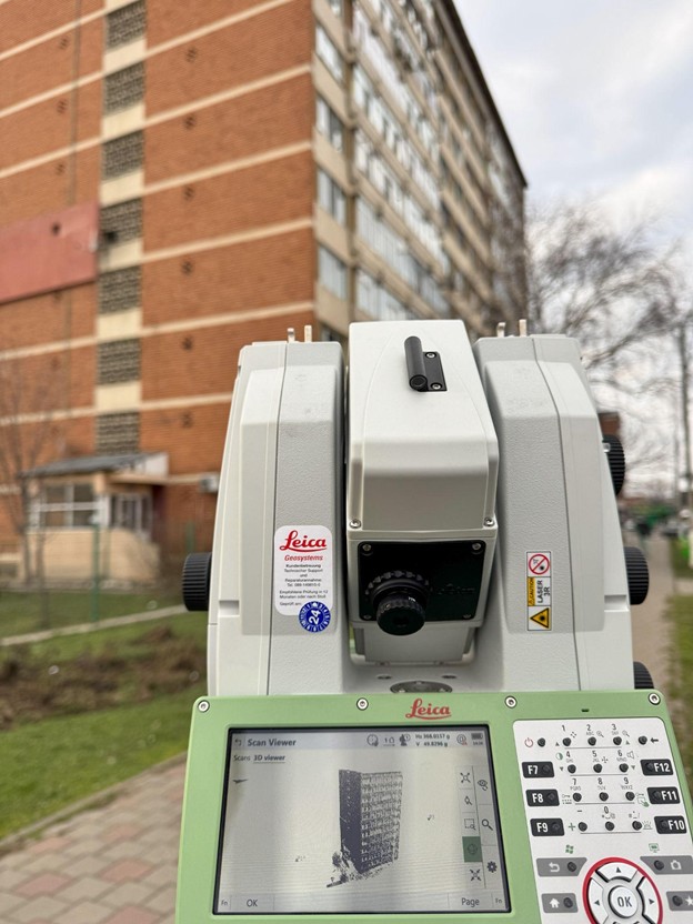
Complementing this seismic monitoring setup, INFP has conducted detailed geophysical investigations to better understand local soil conditions. Laser scanning of the high-rise building has been completed with millimetre accuracy to facilitate dynamic behaviour modelling, and drone surveys have been used to collect high-resolution data on the built environment. This data will be critical in refining digital terrain models and flood modelling for the nearby Tecucel River, with input from Transilvania University of Brașov.
Highlights Key results contributing to MULTICARE deliverables
- Building-integrated seismic monitoring system for Tecuci and Bucharest.
- Earthquake early warning & rapid damage estimation system (tested in Tecuci).
- Urban-level ShakeMap development supported by in-situ instrumentation.
Both systems are designed to deliver timely, actionable information to support emergency planning and decision-making for increasing urban resilience in the face of natural hazards.